File:Map Blizatine.png
From NSWiki

Size of this preview: 600 × 600 pixels. Other resolution: 1,060 × 1,060 pixels.
Original file (1,060 × 1,060 pixels, file size: 359 KB, MIME type: image/png)
Map of Blizatine
File history
Click on a date/time to view the file as it appeared at that time.
| Date/Time | Thumbnail | Dimensions | User | Comment | |
|---|---|---|---|---|---|
| current | 19:26, 10 January 2017 | | 1,060 × 1,060 (359 KB) | Blizatine (Talk | contribs) | An unexpected rise in the water table has transformed a thousand acres of former desert into green and fertile land |
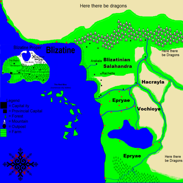
| 00:03, 3 January 2017 | 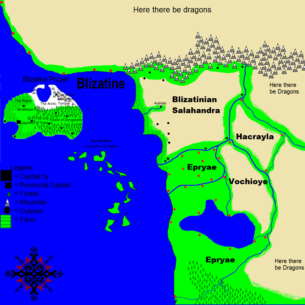 | 1,060 × 1,060 (364 KB) | Blizatine (Talk | contribs) | ||
| 11:25, 5 December 2016 | 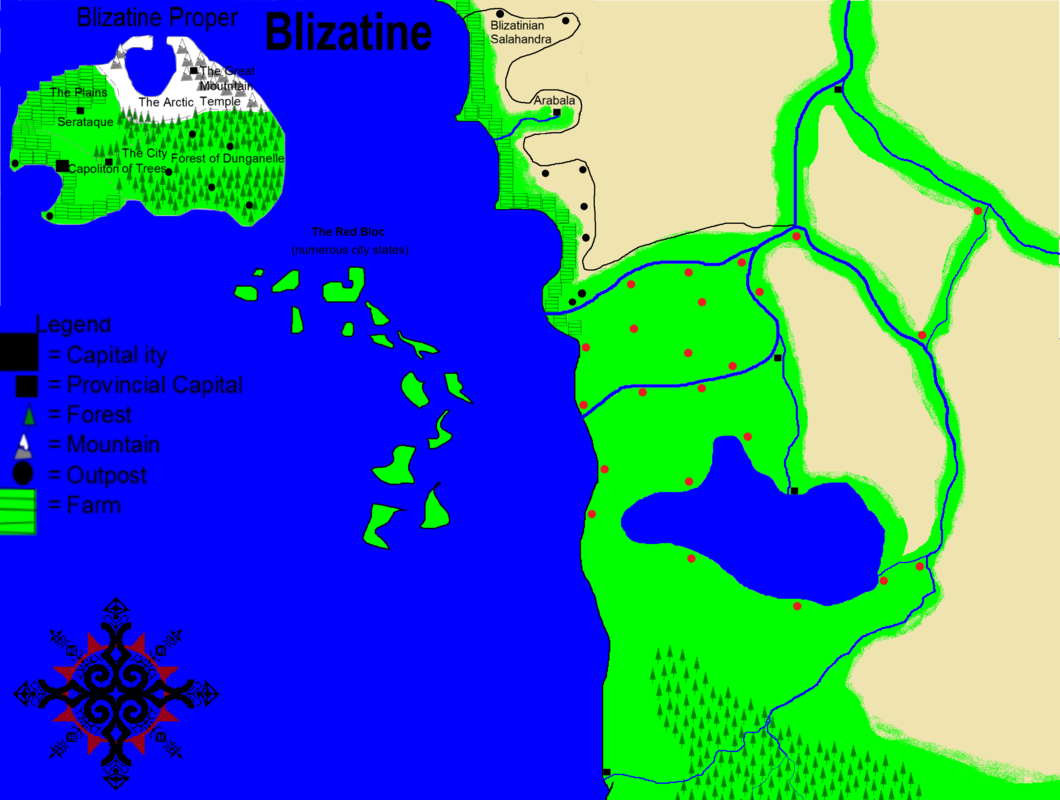 | 1,060 × 800 (309 KB) | Blizatine (Talk | contribs) | Map of Blizatine |
- You cannot overwrite this file.
File usage
The following page links to this file:
