File:Map of Tretrid.png
From NSWiki
No higher resolution available.
Map_of_Tretrid.png (415 × 370 pixels, file size: 10 KB, MIME type: image/png)
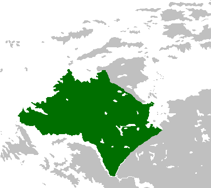
This is the area claimed by Tretrid in the East Pacific. The multiple uploads were from the image loading from the old version until reloaded.
File history
Click on a date/time to view the file as it appeared at that time.
| Date/Time | Thumbnail | Dimensions | User | Comment | |
|---|---|---|---|---|---|
| current | 21:18, 25 April 2017 | | 415 × 370 (10 KB) | Tretrid (Talk | contribs) | Refined the image |
| 19:38, 9 October 2016 | 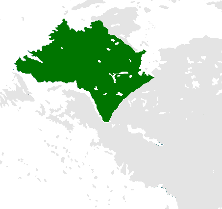 | 453 × 426 (12 KB) | Tretrid (Talk | contribs) | Updated claim | |
| 21:08, 1 October 2016 | 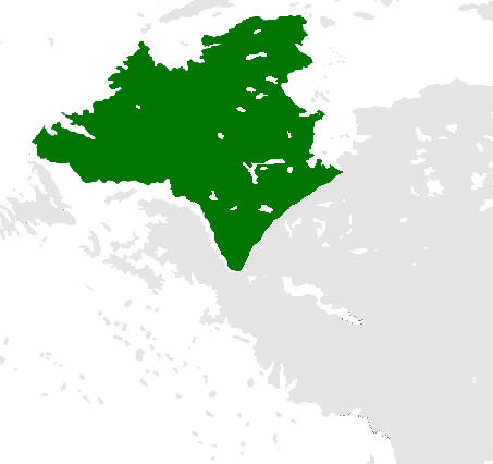 | 453 × 426 (13 KB) | Tretrid (Talk | contribs) | Removed meridian lines | |
| 01:02, 1 October 2016 |  | 453 × 426 (15 KB) | Tretrid (Talk | contribs) | Reverted to version as of 05:01, 1 October 2016 | |
| 01:01, 1 October 2016 |  | 453 × 426 (15 KB) | Tretrid (Talk | contribs) | Uploaded the wrong file | |
| 01:01, 1 October 2016 |  | 453 × 426 (15 KB) | Tretrid (Talk | contribs) | Made it look like the globes on Wikipedia, but as a map | |
| 18:42, 30 September 2016 |  | 453 × 426 (33 KB) | Tretrid (Talk | contribs) | This is the area claimed by Tretrid in the East Pacific. |
- You cannot overwrite this file.
File usage
The following page links to this file:
